The East Hampton Town Trustees commissioned the study of fish migration near the installed landing site of the South Fork Wind Farm Export Cable. The Cornell bottom trawl survey will be conducted next week, between May 8 – 14, 2023.

The Cornell bottom trawl survey will be conducted to provide a consistent sampling of finfish and invertebrates in the affected area and an associated reference area. Survey data will be used to document fish populations, as well as to inform the environmental review process that minimizes construction impacts on fisheries resources.
Coordinating access to the planned sampling sites is critical to the integrity of the survey. CCE intends to make every attempt to minimize inconvenience to mobile and fixed gear fishermen. Prior to each survey all fishermen and especially fixed gear fishermen, please contact Alex Mercado (516) 590-5678 and by email: ajm425@cornell.edu, to inform us of your gear position within the survey area.
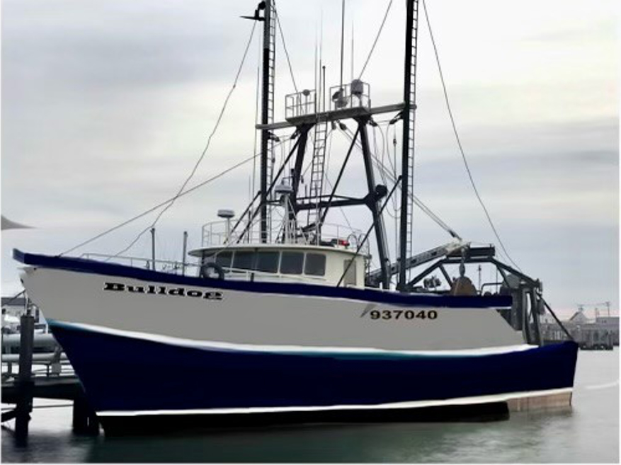
During the survey, fishermen can contact the F/V Bulldog on VHF channels 13 or 16 to determine the updated daily schedule and communicate helpful information to Captain and Cornell Scientist, Alex Mercado, on board. Personnel aboard the F/V Bulldog, an 80′ western rigged steel stern trawler with a green hull and white deckhouse, will carefully check each site for marked gear by cruising along a selected tow path before the net is set. Twenty-minute tows undertaken at -3 knots cover approximately 1 nautical mile. Cornell offers full transparency and open communication for inquiries of survey performance and results. Follow us on Facebook for daily survey updates at Cornell Cooperative Extension Fisheries Program.